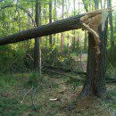
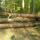
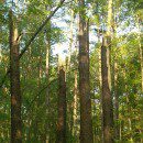
Roving reporter / website contributor BobG was on the greenway today and sent these pictures of the storm aftermath. This is a bike trail that prior to this weekend was lined with some very tall pine trees. It appears mother nature increased the visibility a good bit.
After the jump are several images of the trail and what’s left of the trees.
These images were all taken with Bob’s crackberry – imagine what he could do if he ever got his hands on a real camera.


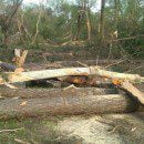
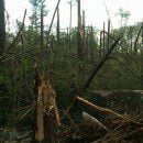

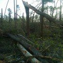
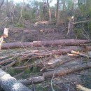
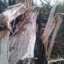
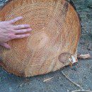

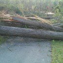
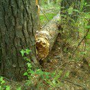
Wow! What a shame. Did you count the rings of the one tree to see how old it is?
Does Bob G. not know that the greenway is closed to citizens. Boy you had better get off of that greenway before the parks and recreation police come and get you.
I was waiting for greenway enforcement to show up. GET HIM NICK!!!!
Ha yeah right… there was no tape to keep people out. I went as far as I could- which erally wasnt very far along that path. This morning, on the other hand….. hee heeh ee… I went to the “other” side of that same trail. Ant has more pics.
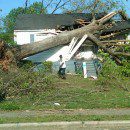
Folks- I’ve covered hurricanes and tornadoes in TV news for 17 years. The King Charles/Marlbrough St area just southwest of this Greenway stretch is one of the worst I’ve ever seen. Every house for a mile is affected. Huge trees down, trees through houses, rooves ripped off….
Look at a map of Raleigh. Mark spots with South Saunders street damage, Shaw University, King Charles St, the greenway path, and the trailer park just off Brentwood Road (where the 4 kids died).
They’re all pretty much in a straight line…