I’m completely fascinated with the tiny and powerful Raspberry Pi computers and have a couple that I use for test projects and have built everything from a webserver to a video sign board using them. There are tons of projects that start with the Pi as a base and can control any number of things. In a short chat with Travis from raleighite.com he mentioned building a PiAware for tracking flights in the area. A little research and a quick Amazon shopping trip and I was ready to build.
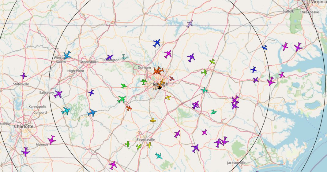
So what is it exactly? PiAware is a FlightAware client program that runs on a Raspberry Pi to securely transmit dump1090 ADS-B and Mode S data to FlightAware. Or more simply put you can see and track where planes are in about a 100-300 mile radius.

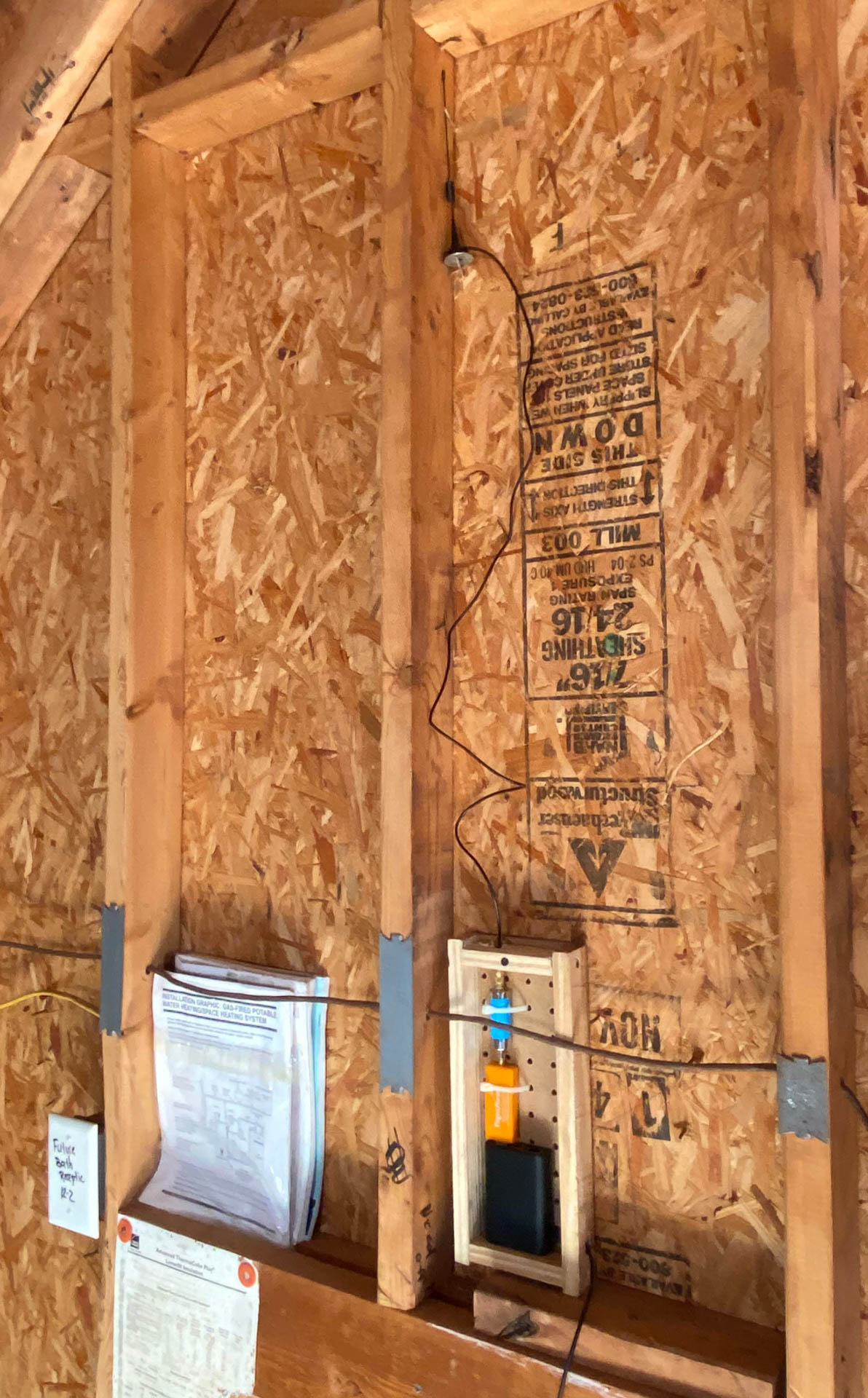
The parts are pretty simple – a Raspberry Pi kit, a FlightAware Pro Stick USB ADS-B Receiver, an ADS-B Dual 978 MHz + 1090 MHz Band-Pass SMA Filter and a 1090Mhz Antenna. (A case for the Pi is optional but you will need a power supply and SD card to complete the build.) If you don’t want to collect parts and have everything ready to display out of the box there is a pre-built option. If you decide to build a container/case for the whole project use whatever you can find. The idea is the secure the Pi/Receiver/Filter because honestly they are not very tight inserted into one another.
From there install the PiAware software and get started. (Full instructions here.) I used the Raspberry Pi Imager to flash my card on the Mac vs. using etcher.io but both methods should work fine. I also modified mine to run on WiFi vs. trying to run a cable to where I wanted it located. Power in the attic was enough of a challenge I didn’t want to think about cables as well and it works great.
What does it look like when you are done? It looks like flight radar – check it out. The data from my PiAware is sent to FlightAware and they pair that with the map and additional flight information. You can see a lot of information on the flights not only out of Raleigh but flying over Raleigh. You also get a really good idea of where helicopters are traveling in and around the area.
This is a fun project and one that I will use to double-check the skies before flying in the radar area. And more often than not to see “what that was” when I hear a helicopter or low flying plane in the area. Plus – it is a good fit for the neighborhood. We are in the location of Raleigh’s first airport. As far as I can tell I might be the first flight tower here since it closed.


